MSRC has a cadre of experienced aerial observers to assess and direct resources, both to meet initial over flight regulatory requirements as well as throughout the response to support recovery objectives.
Types of Surveillance & Remote Sensing
 Aerial Imaging System with Multispectral, Near & Long Wave Thermal Infrared (TIR) Sensors
Aerial Imaging System can be used for wide-area oil spill detection and classification as recoverable or non-recoverable oil, or oil distribution mapping used for the Common Operating Picture. Both objectives require the use of the Multispectral/TIR imaging systems but different flight patterns are flown to accomplish the objective.
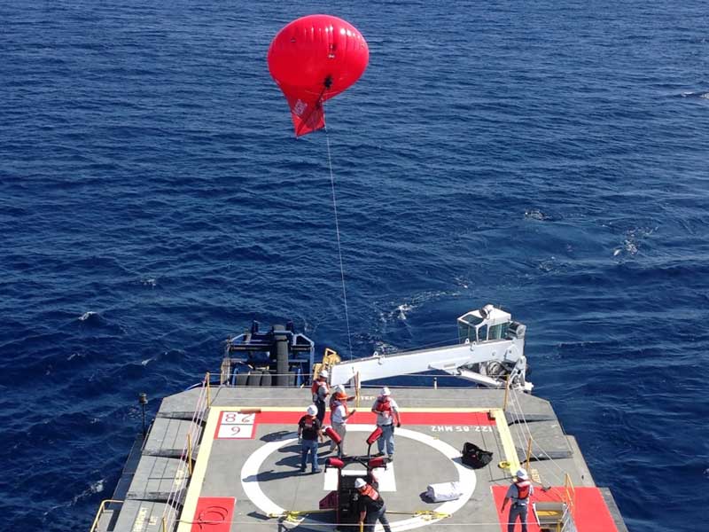 Aerostat with Optical & TIR Sensors
Aerostats or balloons are tethered generally at 500’ or below on a Responder Class OSRV, Vessel of Opportunity (VOO) or from a stationary structure on shore. These systems are designed to aid in detection and classification of oil as recoverable or non-recoverable to assist response personnel in the placement of resources.
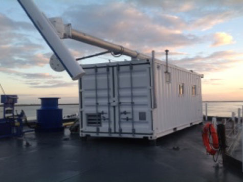 Containerized X-Band Radar & FLIR Systems
Containerized X-Band Radar & FLIR Systems are temporarily mounted on certain Oil Spill Response Barges. These systems assist in identifying oil on the water's surface during on-water recovery operations.
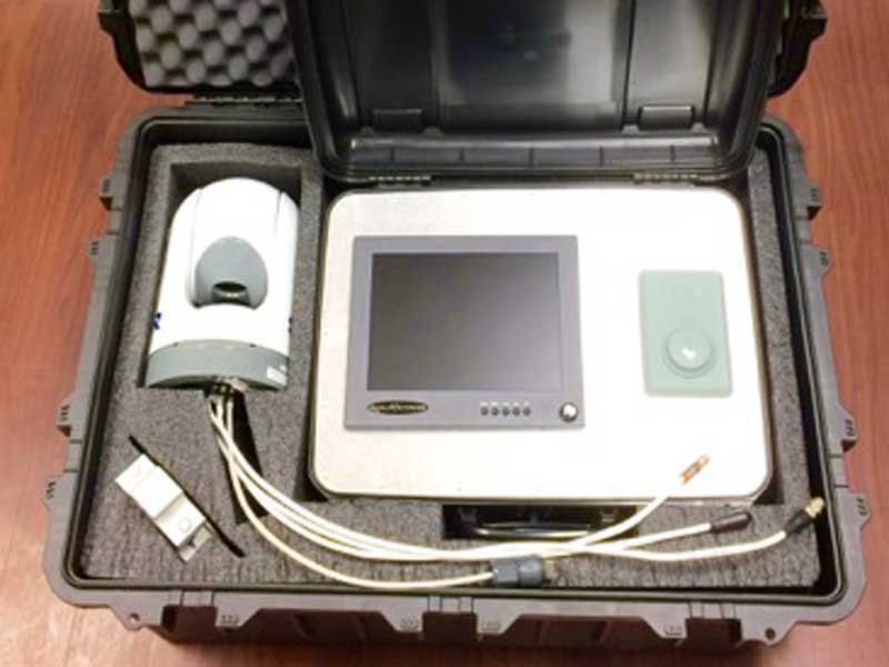 Portable FLIR Systems
Portable FLIR Camera provides vessels of opportunity (VOOs) with thermal infrared (TIR) capability in order to detect and potentially identify actionable oil. The system has an effective range of up to 500 meters and may be useful in daylight, low light and nighttime, depending on weather and other atmospheric conditions.
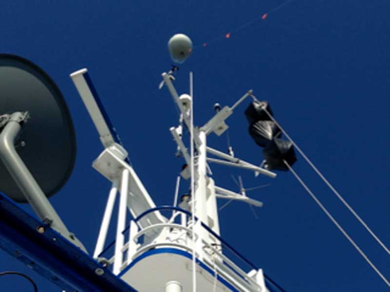 Vessel Mounted X-band & FLIR Systems
Vessel Mounted X-band & FLIR Systems are equipped on all Responder Class OSRV vessels. These systems assist in identifying oil on the water’s surface during on water recovery operations.