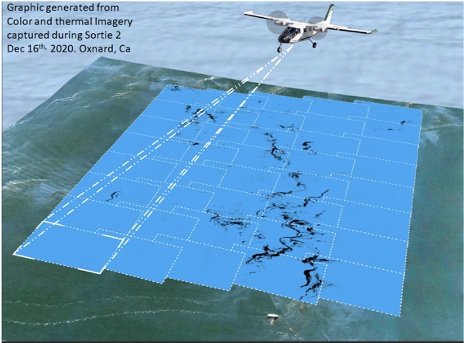
Aerial Imaging System can be used for wide-area oil spill detection and classification as recoverable or non-recoverable oil, or oil distribution mapping used for the Common Operating Picture. Both objectives require the use of the Multispectral/TIR imaging systems but different flight patterns are flown to accomplish the objective.
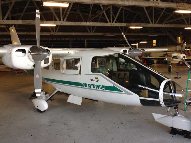
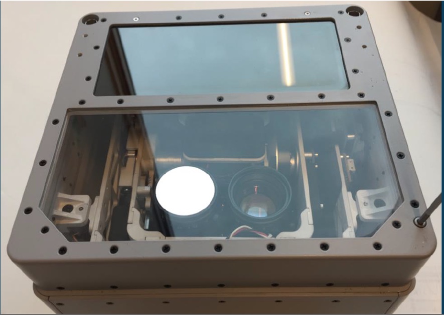
Locations of Aerial Imaging System with Multispectral, Near & Long Wave Thermal Infrared (TIR) Sensors
| Site | Quantity (Each) |
|---|---|
| Everett, WA | 1 |
| Houston, TX | 1 |
| Total: | 2 |